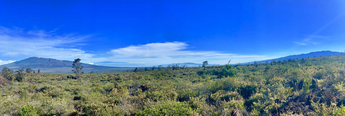
He aliʻi ka ʻāina; he kauwā ke kanaka
The land is chief; man is its servant
Where We Work
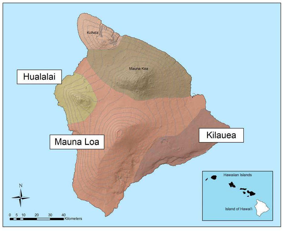
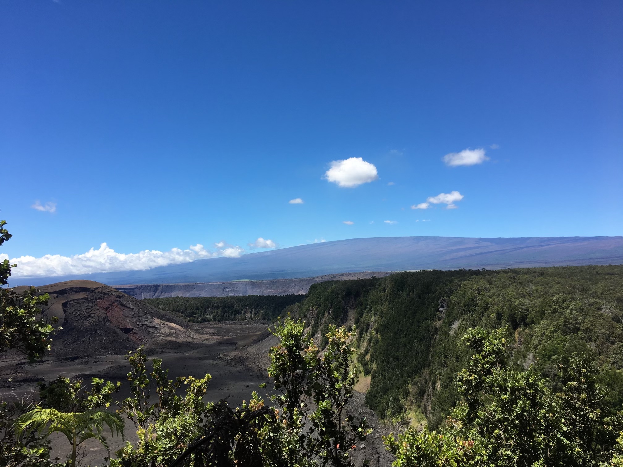
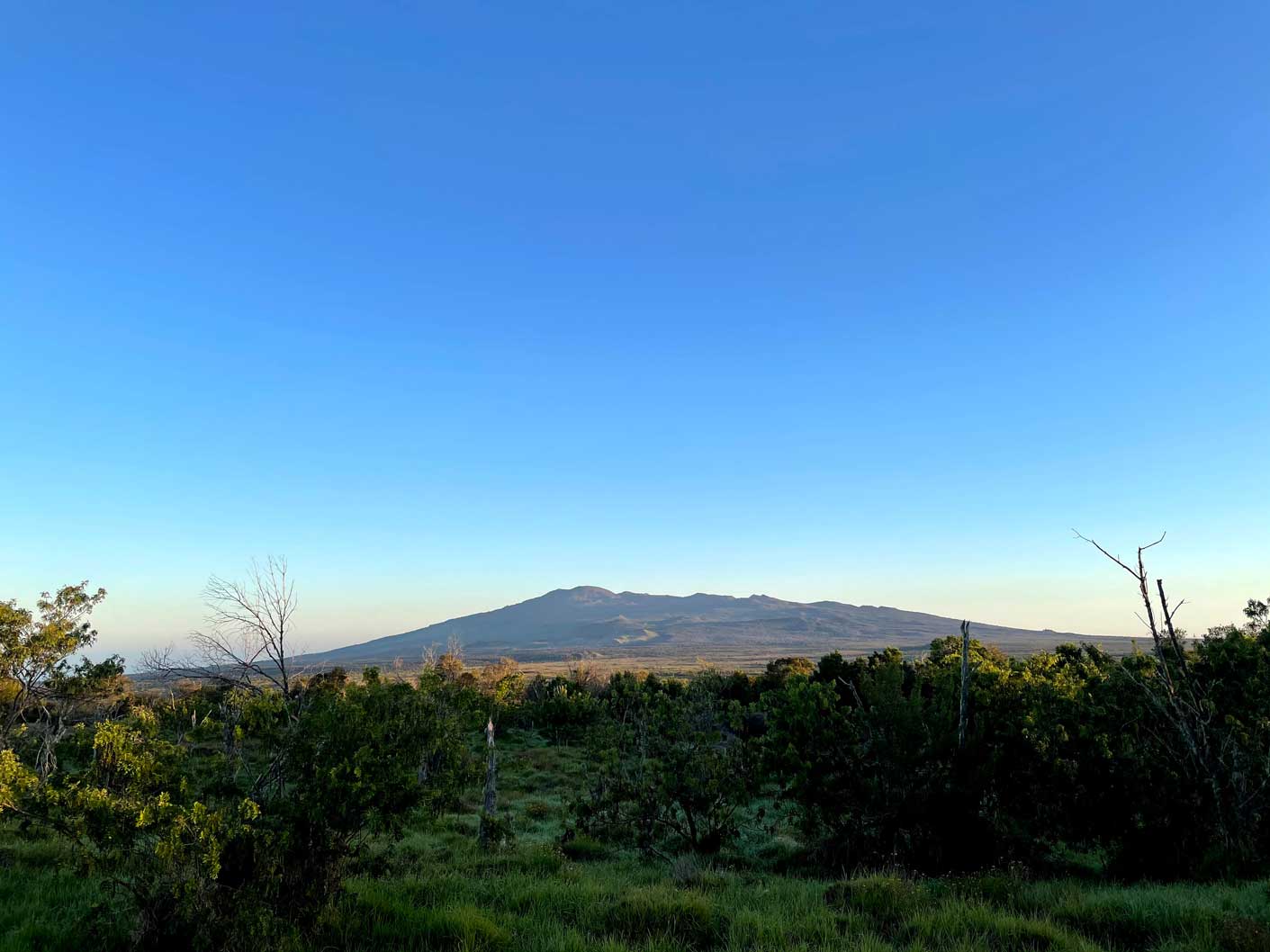
The area is home to three of the island’s youngest volcanoes, Hualālai, Mauna Loa, and Kīlauea – all of which are active and characterize this area’s landscape with extensive lava flows of varying ages influencing vegetation succession patterns. The presence of the three mountains also affects climate, as winds are driven around and up their slopes. Warm trade winds bring moisture as rain or cloud drip on the windward side. At high elevations and on the Kona, or leeward side, dry or even arid conditions predominate. Convection-driven onshore breezes on the leeward side create upslope showers most afternoons, resulting in a broad band of mesic forest. The peaks of Mauna Loa have permanent frost. Elevation ranges from coastal areas to 13,679 feet (Mauna Loa summit), resulting in a wide variety of climates and vegetation communities from dryland to mesic forests.
The TMA is also characterized by major watersheds, which provide native habitats for native species, and other ecosystem services such as water production and filtration, climate change mitigation benefits, flood control, and economic, social, and educational opportunities for the human communities in the area.
MAUNA LOA
Elevation
13,678 ft (4,169 m) above sea level
Year of last eruption
1984
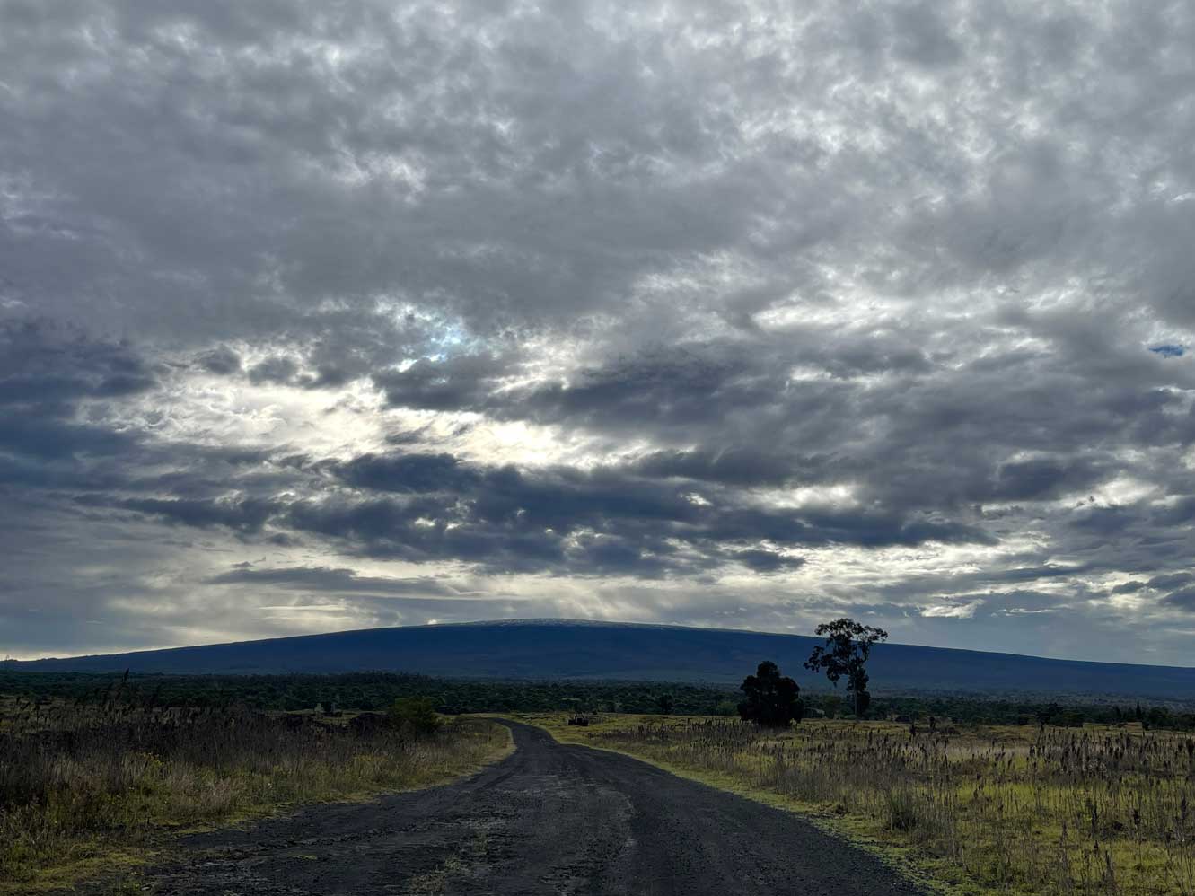
The name Mauna Loa can be translated as “long mountain” in Hawaiian and is the largest active volcano in the world. When measured from the sea floor, its height reaches 30,000 feet (9,144 m), which is higher than the peaks of Mount Everest. Mauna Loa is so massive that it constitutes approximately 51% of Hawaiʻi Island and causes the ocean floor to bend under its weight.
On the peak of Mauna Loa lies the summit caldera Mokuʻāweoweo. Along its southwest slope is a traditional Hawaiian astronomical instrument called Pahu Manamana o ʻUmi. Construction of this ancient structure is credited to ʻUmialiloa, an aliʻi who unified the island of Hawaiʻi. It consists of numerous stone uprights that align with volcanoes throughout the Hawaiian archipelago as well as other culturally significant sites in the islands. Pahu Manamana o ʻUmi is an astounding example of the vast knowledge and intelligence of Hawaiians and their relationship with their environment.
Ioio Maunaloa nopa i ka makani
Maunaloa is carved by the wind
KĪLAUEA
Elevation
4,091 ft (1,227 m) above sea level
Year of last eruption
2021
The name Kīlauea can be translated as spewing or much spreading. It is the youngest and most active volcano on Hawaiʻi Island and therefore has the most extensive and detailed recorded eruption history.
Kīlauea is home to Pelehonuamea, goddess of the volcano, who resides in Halemaʻumaʻu, a crater within the summit caldera. A plethora of oli and mele (chants and dances) have been recorded in Hawaiian literature about Pele and her siblings. Peleʻs most notable sibling is her youngest sister, Hiʻiakaikapoliopele, the healer who is responsible for bringing new growth to the land.
Hulihia – overturned, a complete change
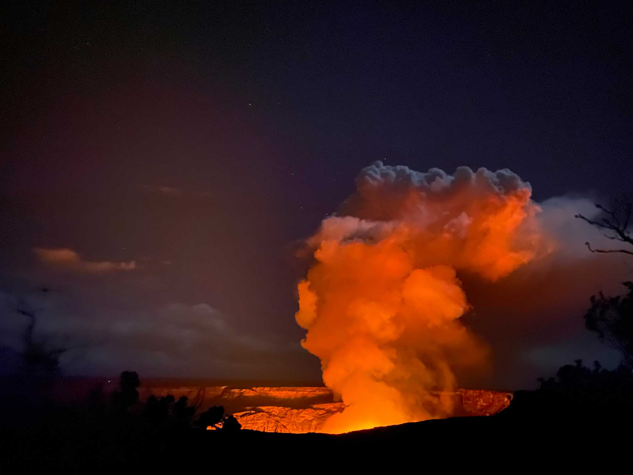
The large-scale changes that have occurred since 2018 have dramatically altered the landscape of Halemaʻumaʻu as well as the lower Puna region and can only be described as a hulihia event. This ever-changing landscape presents a unique set of challenges for those who work and live within its vicinity and requires creative solutions and adaptability. These hulihia are a humbling reminder of the awe-inspiring power of our natural environment.
Hulihia Kīlauea pō i ka uahi
The night of upheaval begins when the billowing clouds gather above Kīlauea
HUALĀLAI
Elevation
8,271 ft above sea level (2,523 m)
Year of last eruption
1801
Hualālai is the third youngest as well as the third most active volcano on Hawaiʻi Island. Since it is in the post-shield stage of activity, Hualālai has steeper slopes and a more “bumpy” appearance compared to the younger Mauna Loa and Kīlauea.
The last eruption of Hualālai occurred in 1800-1801 during the reign of King Kamehameha I. The two largest and most well known flows of this eruption are the Kaʻūpūlehu flow and the Huʻehuʻe flow. The Huʻehuʻe flow consumed Kamehamehaʻs large and valuable fishpond, Paʻaiea, which was located between Keahole point and Mahaiʻula. It is said that the eruption ceased after Kamehameha offered hoʻokupu to Pele.
A prominent sub-feature of Hualālai is Puʻu Waʻawaʻa, a cone that stands 1,220 ft (372 m) tall and measures more than 1 mile in diameter. The ridge that runs alongside it is called Puʻu Anahulu, and together they are referred to as Nāpuʻu. Both of these geologic features are unique in that they are composed of trachyte, a viscous type of lava found nowhere else on Hawaiʻi Island that resembles black glass.
Puʻuwaʻawaʻa is one of 23 ahupuaʻa that fell within a sub-district of North Kona called Kekaha wai ʻole (the arid region). A rich history of moʻolelo (stories) were passed down to those that make this area their home. These kamaʻāina attribute the names of the Puʻu to Waʻawaʻa and his wife Anahulu, a chief and chiefess of Puna. Their children were ‘Anaeho‘omalu, Puakō, Pū‘āla‘a, and Mauiloa. ʻAnaehoʻomalu and Puakō are the names of bays found along the coastline below Puʻu Waʻawaʻa. These moʻolelo provide insight into the connections Hawaiians made between these wahi pana (celebrated places).
Laʻahia o Hualālai i ka noe
Hualālai is shrouded in mist
PROJECT SITE SPOTLIGHT
KEAUHOU
Biome
Wet montane, Mesic montane, Dry montane
Elevation
4,000 – 6,000 ft
Rainfall
50 – 130 inches annually
Landowner
Kamehameha Schools
Dominant plant species
ʻŌhiʻa, Koa, ʻŌlapa
The name Keauhou can be translated to a new current, which is fitting since it sits between the wet, dense forests of Puna, and the arid landscapes of Kaʻū. Located in the wao akua or realm of the gods, it is a kū‘ina, or meeting place, between the mountains of Mauna Loa and Kīlauea, and of the water-gathering energies of the forest and the heat-creating energies of Halema‘uma‘u.
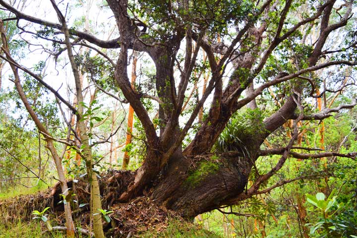
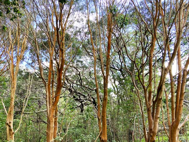
Keauhou is a privately owned ‘ili (small land division) in the ahupua‘a (large land division) of Kapāpala. Keauhou was once a pristine native forest, however, due to ranching and logging the landscape has been transformed to pastureland interspersed with old growth forest. In the early 2000’s, Kamehameha Schools ceased all ranching activities at Keauhou and focused their efforts on the protection and restoration of these native forests.
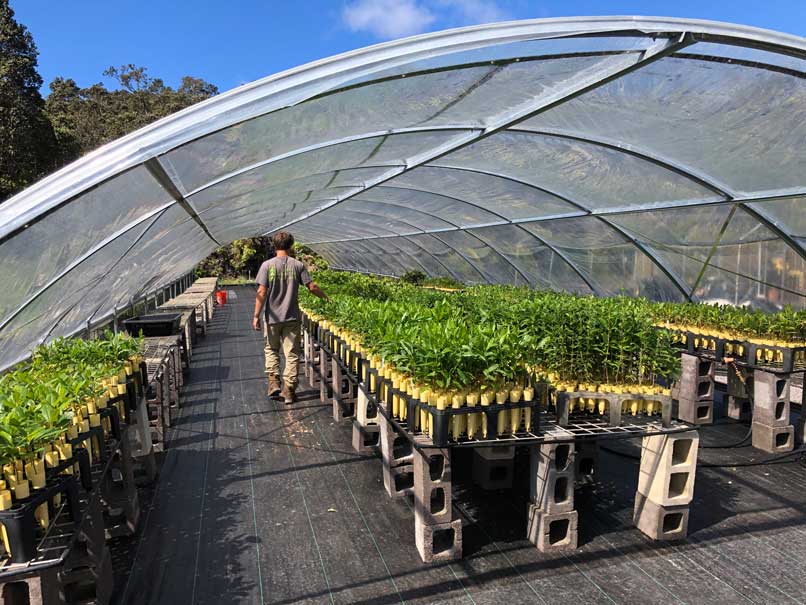
Keauhou is our most established restoration site and where our volunteer and service learning activities take place. We strive to form meaningful pilina (connections) between Keauhou and those who call Hawaiʻi home. E komo mai i loko aʻo Keauhou, e kipa mai e!
Eia Keauhou i ka wao akua o Kaʻū, ʻO Pelehonuamea ke kumu
Here is Keauhou the wao akua of Kaʻū, Pelehonuamea is the foundation
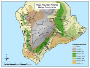
TMA ECOSYSTEM TYPES
Alpine
(9% of total TMA area)
Located on the summit regions of Mauna Loa above 9,000 ft (3,000 m) elevation. Natural communities include aeolian desert and a sparse shrubland of alpine adapted plants. Biological diversity is not high, but highly specialized plants and invertebrates occur here.
Subalpine
(24% of total TMA area)
Near-summit regions of Mauna Loa and Hualālai between 6,000 – 9,000 ft (2,000 – 3,000 m) elevation. The subalpine system contains several natural communities including forest (e.g. Māmane-Naio Subalpine Dry Forest), shrublands, and grasslands (e.g. Deschampsia nubigena Subalpine Dry Grassland). Although biological diversity is not high, specialized plants and invertebrates occur here, as well as bird species, such as the palila (Loxioides bailleui), adapted to foraging and nesting in subalpine habitats.
Montane Dry
(16% of total TMA area)
Natural communities between 3,000 – 6,000 ft (1,000 and 2,000 m) elevation, receiving less than 50 inches of rain per year. This system is best developed on the leeward side of the island in the North Kona area and in the Mauna Kea – Mauna Loa saddle. This system contains a number of natural communities including a variety of grasslands, shrublands, and forests. Biological diversity is moderate in this system compared to lower elevation systems.
Montane Wet
(15% of total TMA area)
Natural communities between 3,000 – 6,000 ft (1,000 and 2,000 m) elevation, receiving greater than 75 inches of rain per year. This system is best developed on the windward side of Hawai‘i and contains a variety of natural communities, including grasslands, shrublands, and forests. Biological diversity is moderate to high in this system, and specialized plants and animals occur here, such as predatory caterpillars and lobeliads. The montane wet system is an important habitat for forest birds.
Montane Mesic
(10% of total TMA area)
Natural communities between 3,000 – 6,000 ft (1,000 and 2,000 m) elevation, receiving between 50 and 75 inches of rain per year. This system includes a variety of grasslands, shrublands, and forests and is best developed on the leeward side of the island in the Kona flank. Biological diversity is moderate in this system, relative to lower elevations, but this system is important habitat for forest birds, and specialized plants and animals historically occurred here, such as ʻalalā, the Hawaiian crow (Corvus hawaiiensis) and the native plant hō‘awa (Pittosporum hosmeri).
Lowland Dry
(14% of total TMA area)
Natural communities below ~3,000 ft (1,000 m) elevation, receiving less than 50 inches of rain per year. This system is best developed on the leeward sides of the islands, for example, the Kona flank of Mauna Loa. There are a number of natural communities described within this system, including a variety of grasslands, shrublands, and forests. Biological diversity is low to moderate in this system, and specialized plants and animals occur here, such as pueo, the Hawaiian owl (Asio flammeus sandwichensis) and the rare Hawaiian tree cotton, hau hele ‘ula (Kokia spp.).
Lowland Mesic
(2% of total TMA area)
Natural communities below ~3,000 ft (1,000 m) elevation, receiving between 50 and 75 inches of rain per year, or otherwise bearing prevailingly mesic substrate conditions (e.g. the Kona flank of Mauna Loa). There are a number of natural communities described within this system, including a variety of grasslands, shrublands, and forests. Biological diversity is high in this system, which is noted in particular for tree species diversity. A number of specialized plants and animals occur there, such as the Hawaiian bat, ‘ōpe‘ape‘a (Lasiurus cinereus semotus) and the native vine nuku‘i‘iwi (Strongylodon ruber). This system is of secondary importance for forest birds.
Lowland Wet
(10% of total TMA area)
Natural communities below 3,000 ft (1,000 m) elevation, receiving greater than 75 inches of rain per year. This system is best developed on the windward side of Hawai‘i. There are a number of natural communities described within this system, including a variety of wet grasslands, shrublands, and forests. Biological diversity is high in this system, and specialized plants and animals occur here.
